
IRLAND
Joyce Country and Western Lakes Geopark
Guth na Talún. Ice-carved mountains and lakes, bikes and trails, world cup trout, castles and ruins, gorgeous villages, wondrous food drinks and culture – our Geopark has all these and more. Explore our whispering landscape!
About the geopark
The Joyce Country and Western Lakes (JCWL) Geopark is located in the West of Ireland, in the counties of Galway and Mayo, and covers an area of 1560km2. Its local population is about 20,000 people in 20 different communities. The rocks found in the Geopark region are metamorphic rocks (e.g. marble, quartzite), igneous rocks (e.g. granite, basalt) and sedimentary rocks (e.g. limestone, conglomerate) and represent the various climates and conditions that Ireland experienced for the last 700 million years. The geology of international significance comes from the opening of the Iapetus Ocean and the complete record of the Grampian Taconic Orogeny associated with its closing. It is also part of an international story that spans from North America to Scotland and to Norway. Other notable features include its karst landscape, Ireland’s only fjord, and its glacial legacy and the variety of habitats and historical features derived from this geodiversity.
History
Initially a 10-year voluntary effort, then a two-year project (2020-2021), and now consolidated into a fully functional geopark, JCWL Geopark’s key aim is to put in place the resources and structures to achieve and retain UNESCO Global Geopark status. The Geopark was assessed by UNESCO in 2023 and is now addressing the recommendations of the UGG Executive Council. It is expected to achieve the UNESCO Global Geopark status in 2025. Its management master plan through to 2028 provides a road map for sustainable development of the region and of its 20 communities, relying on the wonder and respect of its natural and cultural landscape.
Main attractions
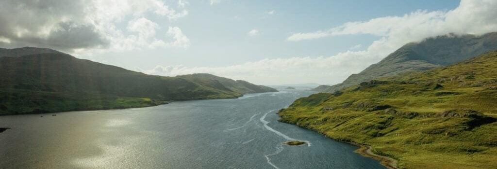
Killary Fjord
The only fjord, or glacially over-deepened sea valley, in Ireland. Killary presents its dramatic scenery of mountains dropping into the sea over its long and winding course. It connects the Geopark to the Wild Atlantic Way.
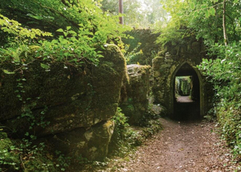
Cong and Clonbur woods
An isthmus between the two largest western lakes, Lough Corrib and Lough Mask, made up essentially of limestone deposited about 350 million years ago. Many springs around the village of Cong illustrate the complex network of underground rivers linking the two lakes while limestone pavement on the shores showcase surface features of rare beauty.
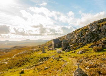
Mám Éan
A mountain pass crossing the Maumturk Mountains at about 260m above sea-level and allowing a direct interaction with the local metamorphic rocks (quartzite, schist and marble). It is also the site of an ancient pilgrimage dedicated to Ireland’s patron saint, Saint Patrick. It is part of the Western Way, a long national trail that forms part of the International Appalachian Trail.
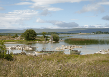
Lough Carra
A very rare marl lake and a biodiversity hotspot for the Geopark. Its beauty has attracted the rich and powerful over centuries and the local communities are all engaged today in its conservation for future generation.
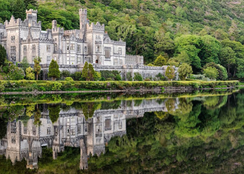
Kylemore Abbey
A castle built in the wilderness of Connemara in the late 19th century became a benedictine abbey in the early 20th century and then a boarding school. The refurbished castle, grounds and Victorian walled garden form today one of the main attractions for visitors to the west of Ireland.
Practical information
How to get here
Most people arrive to Ireland by plane. Dublin, Shannon and Knock airports offer direct onward connections to the Joyce Country and Western Lakes Geopark region. The Geopark is located 220 to 270 km to the west of Dublin which is about a 3hr drive but connections can also be made by bus and train to the Geopark’s main towns. From then on, the region can be explored in a rented car, bus, bicycle or on foot.
Opening hours
The main Geopark office and information centre is located in Tourmakeady, County Mayo and open year round from Tuesday to Thursday from 9am to 5pm. The main geosite viewing points are viewable year round and all accessible by car. The major tourism attractions are open year-round from 9 to 5pm but some will close in the winter months.
Contact details
See the Geopark’s website for contact information and details.